The photographs trace a journey that kept changing its mind about what New Zealand should be. It began with the blue water and vines of Waiheke, crossed Wellington and the Southern Alps, then widened into high-country grass, glacial valleys, and the deep silence of Fiordland. By the time we reached Moeraki, the trip had moved from sea level to the mountains and back again.
March 8 / Waiheke, at island speed
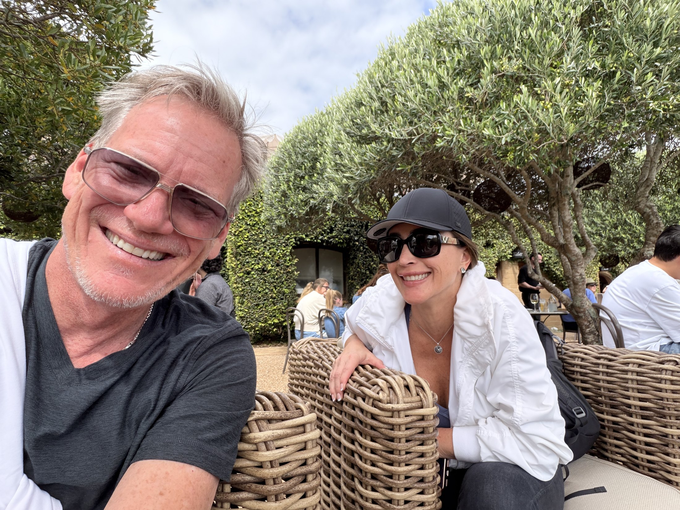
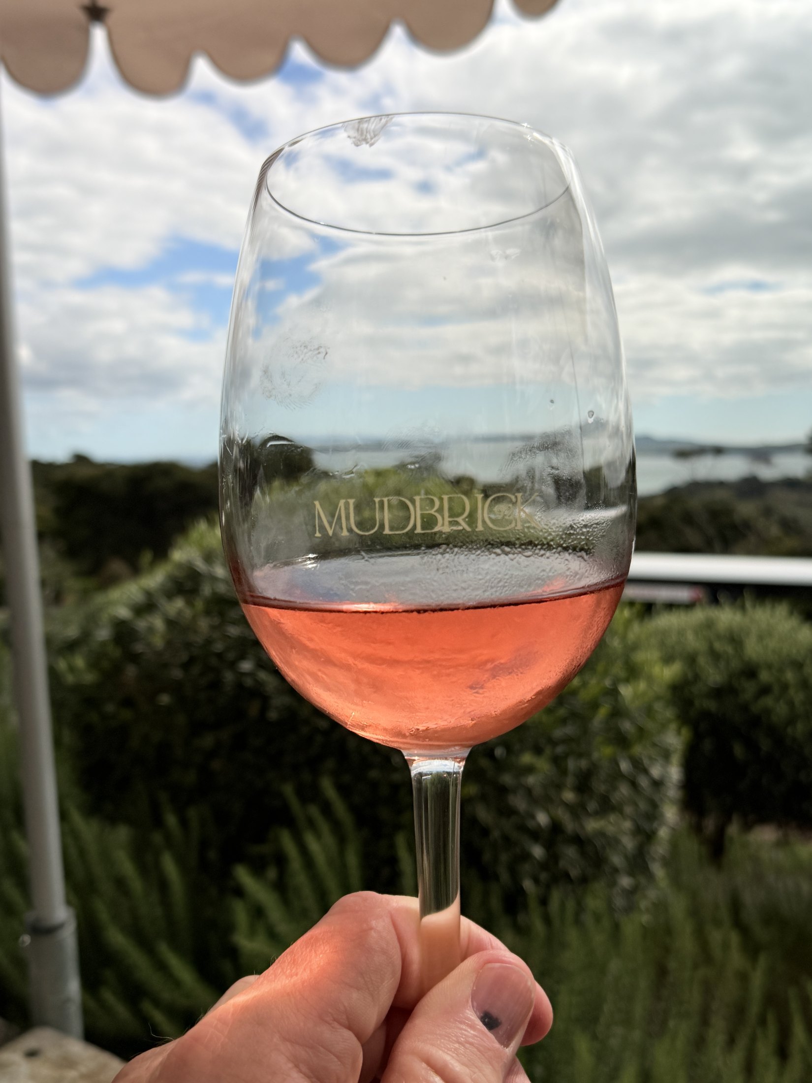
Waiheke set the pace. We arrived by water, then climbed to Mudbrick, where the tables sit among gardens and vines above Church Bay. The photographs record the place with unusual precision: the vineyard name etched into the glass, the GPS on the ridge, Rangitoto low on the horizon, and the two of us settling into the afternoon.
That first stop established a pattern for the trip. The landscape was always present, but the best images found us inside it: at a table, on a boat, leaning into the wind, or laughing before the next departure.
March 9–12 / Wellington, then through the Alps
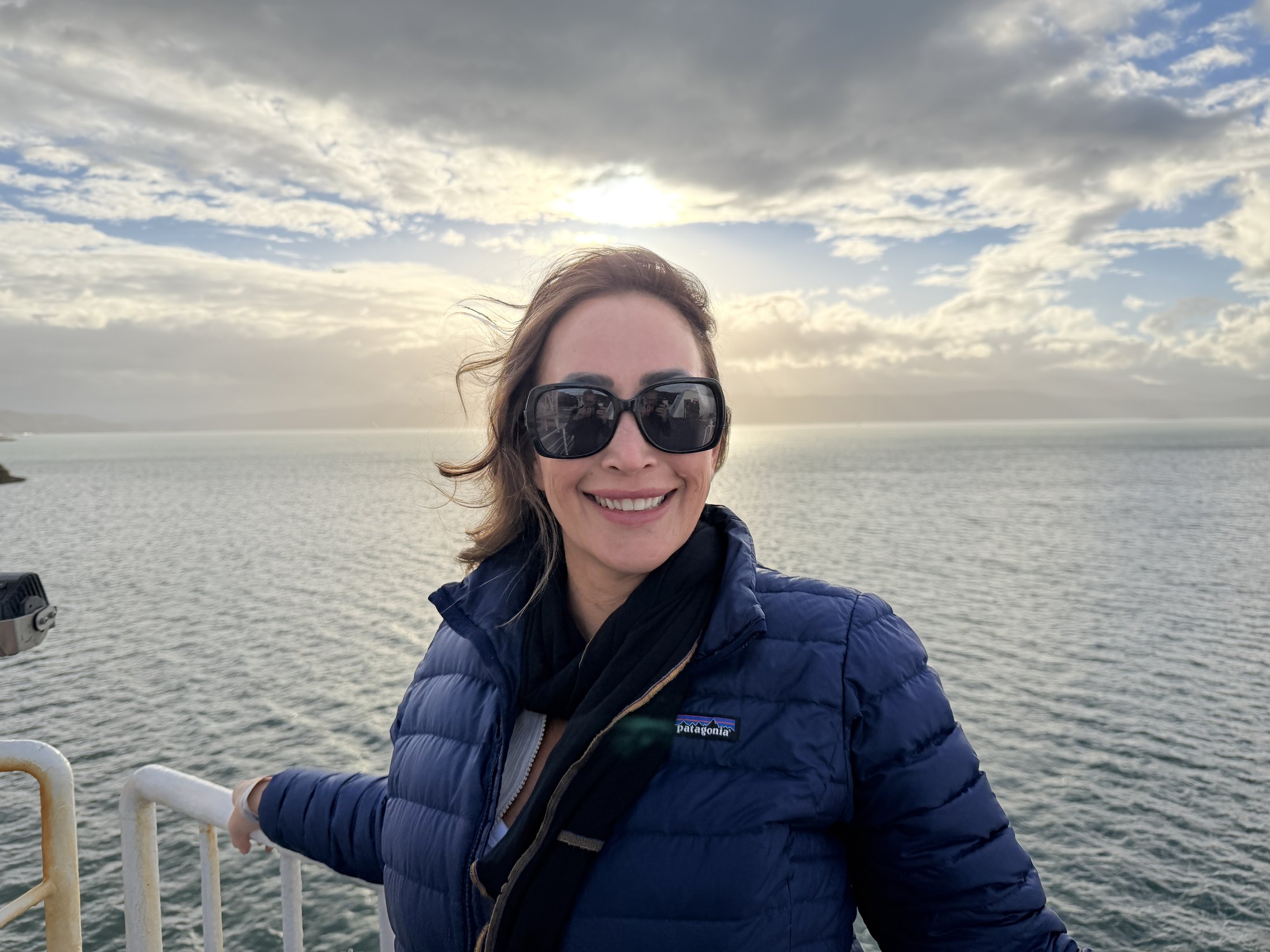
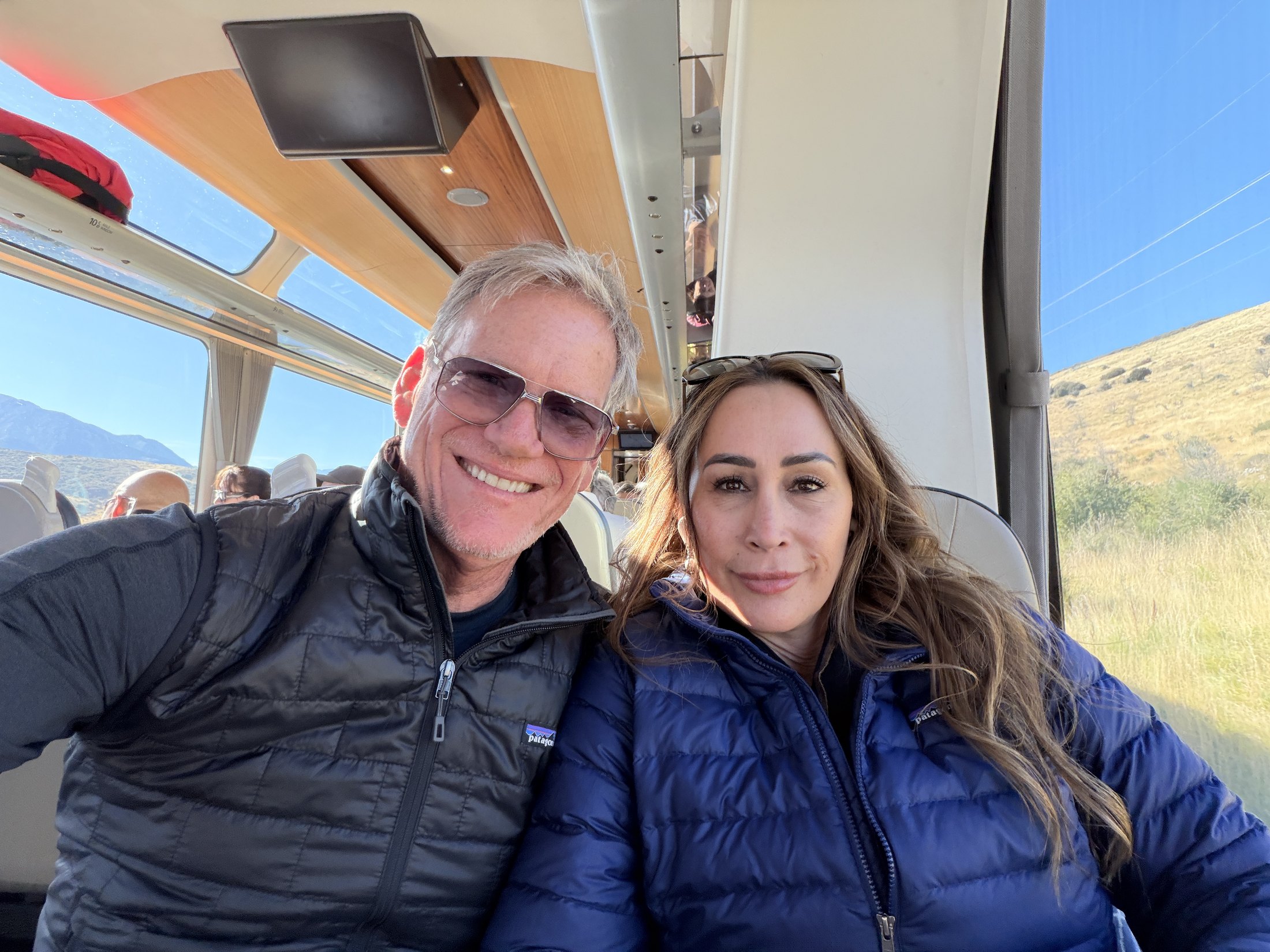
Wellington was a hinge between islands: dinner in the city, a grey-blue morning on the harbor, then south toward the mountains. Two days later, the windows of the TranzAlpine held the Waimakariri country and the approach to Arthur’s Pass. The railway follows gorges, viaducts, and horseshoe bends here, climbing through terrain that feels built for distance.
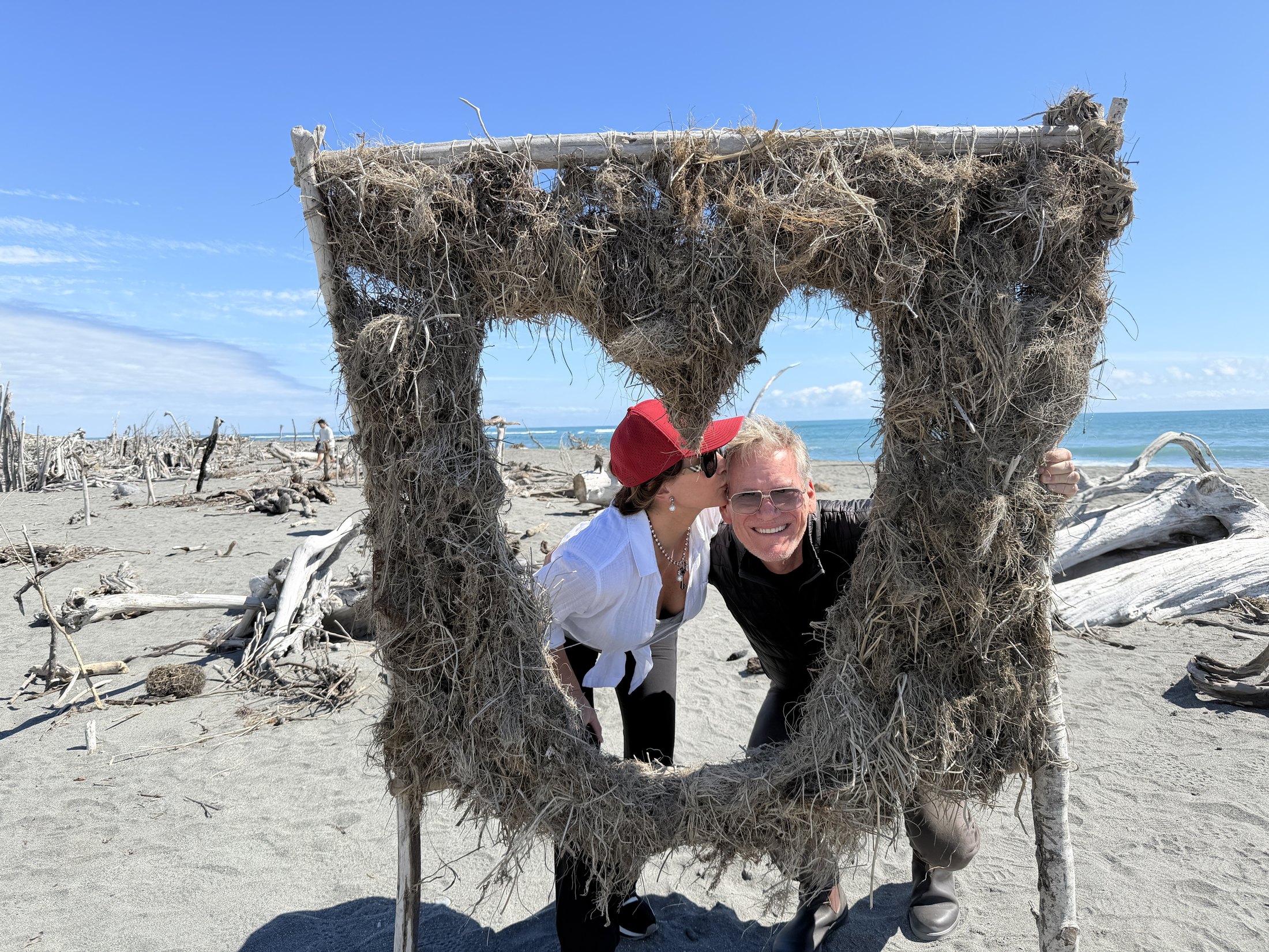
By afternoon we were on the West Coast. The hard alpine light was gone; in its place were black sand, driftwood, and the broad Tasman Sea. One frame made a window out of roots and branches. It is playful, but it also captures the abrupt change in geography: one day, one crossing, and an entirely different edge of the country.
March 14–15 / Wānaka, from water to summit
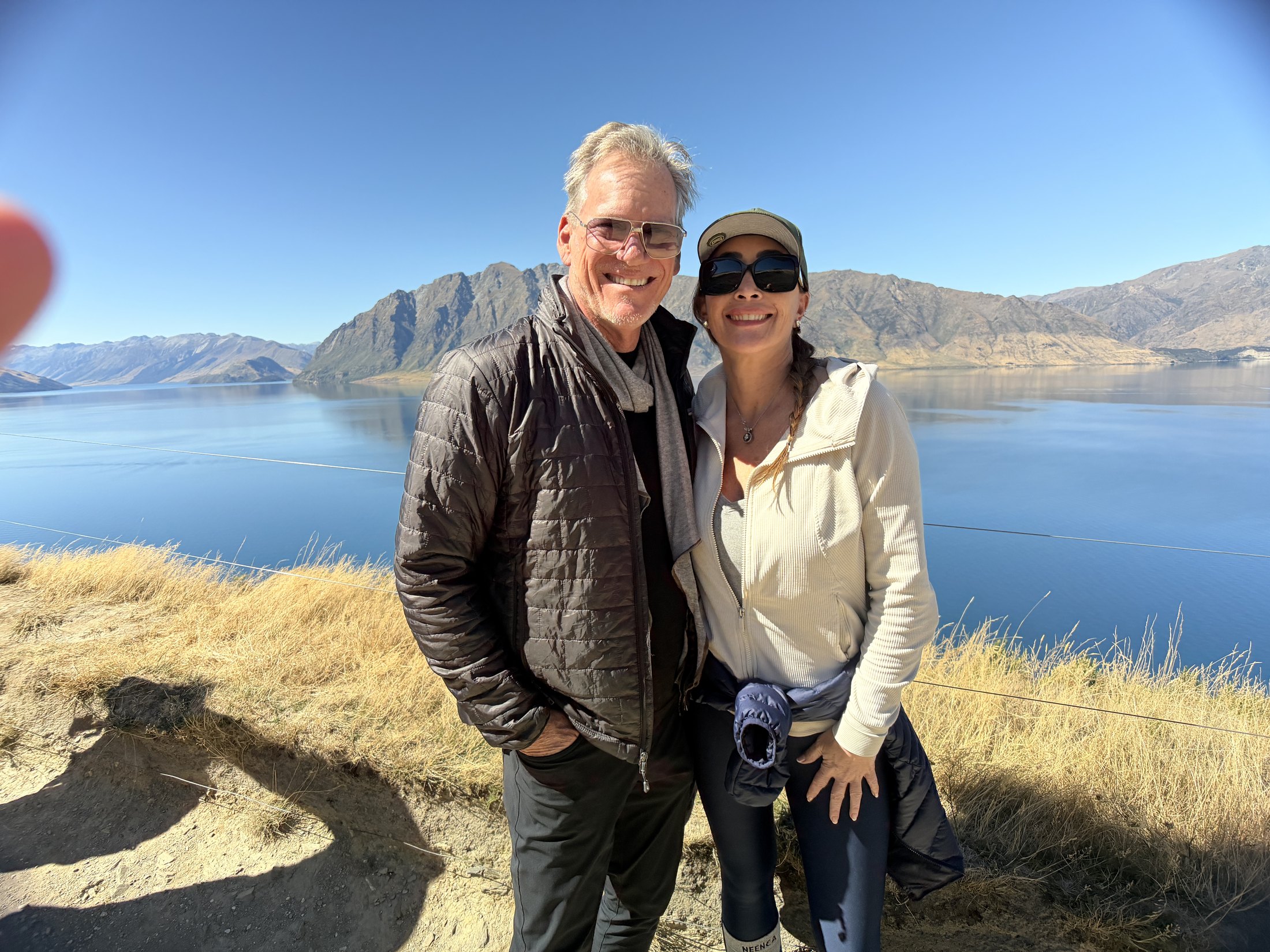
At Wānaka, the palette narrowed to deep blue and gold. The lake filled the foreground; long folds of mountains ran behind it. The next morning, those distant ridgelines stopped being scenery and became the destination.
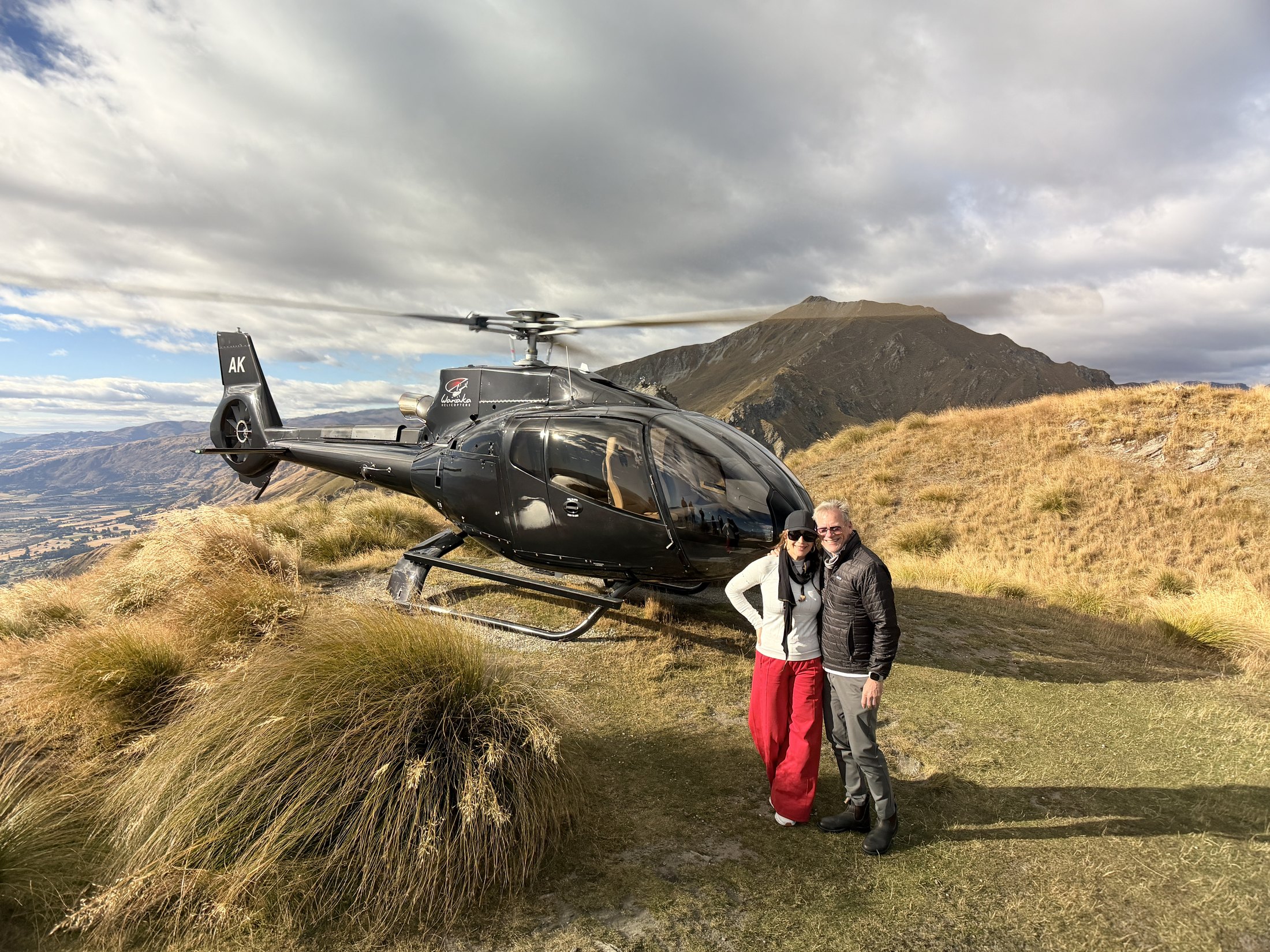
The helicopter carried us into the high country for an alpine landing. The company describes the experience in terms of mountaintops, glacially formed shores, and sweeping grasslands; the photographs supply the human part. Desiree’s red trousers catch the light against the tussock, the black helicopter sits level on the ridge, and the valley drops out behind us. This was the moment the trip reached its highest point.
March 17 / Queenstown at full speed
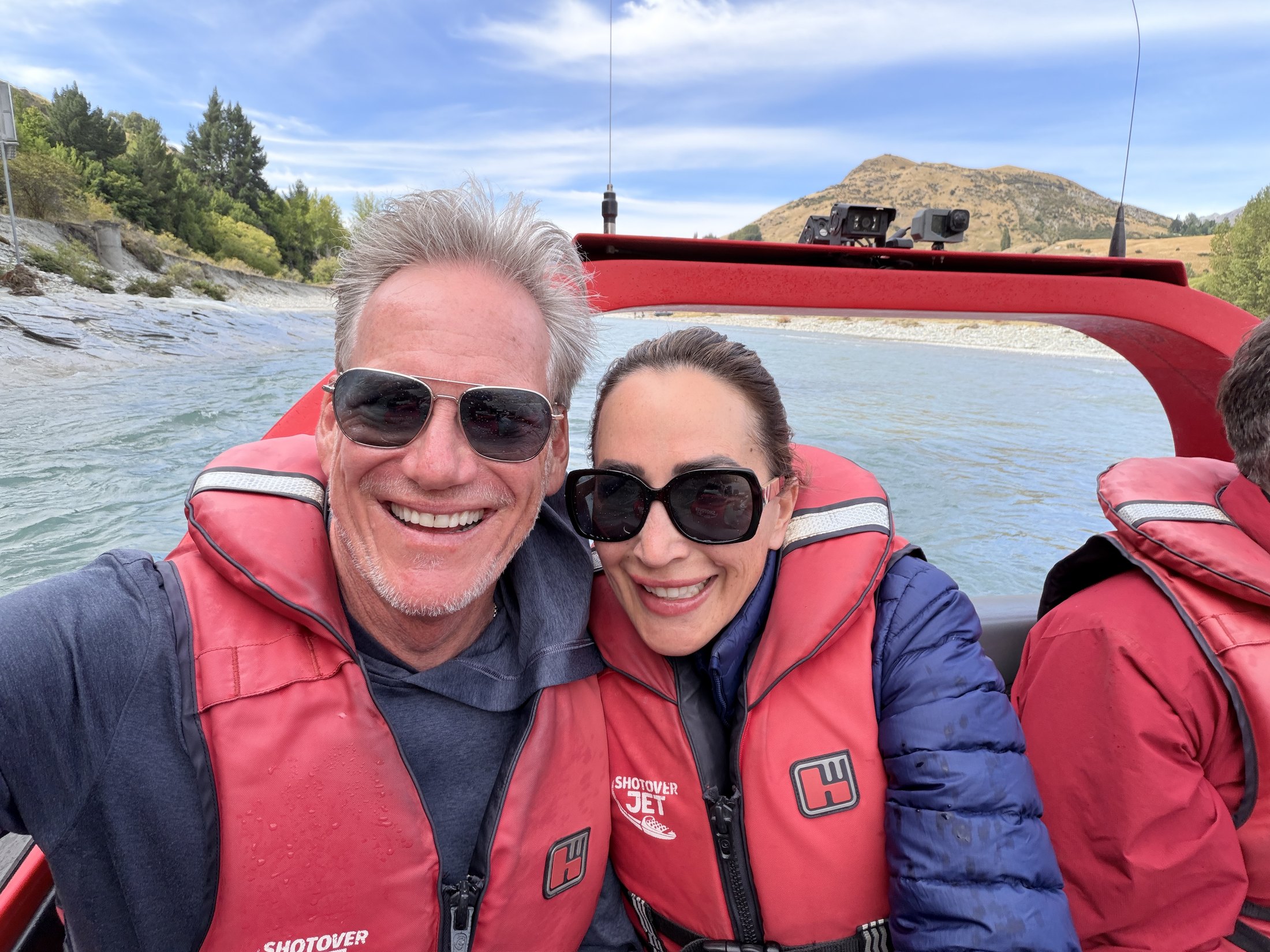
Queenstown changed the tempo. The red boat and branded life jackets identify the Shotover Jet; the GPS places the photograph on the river near Arthur’s Point. Behind us, pale blue water runs between a gravel bar and steep country. In front, the frame is all speed, spray, and the kind of grin that only appears after a very fast ride.
March 18–19 / Into Pātea Doubtful Sound
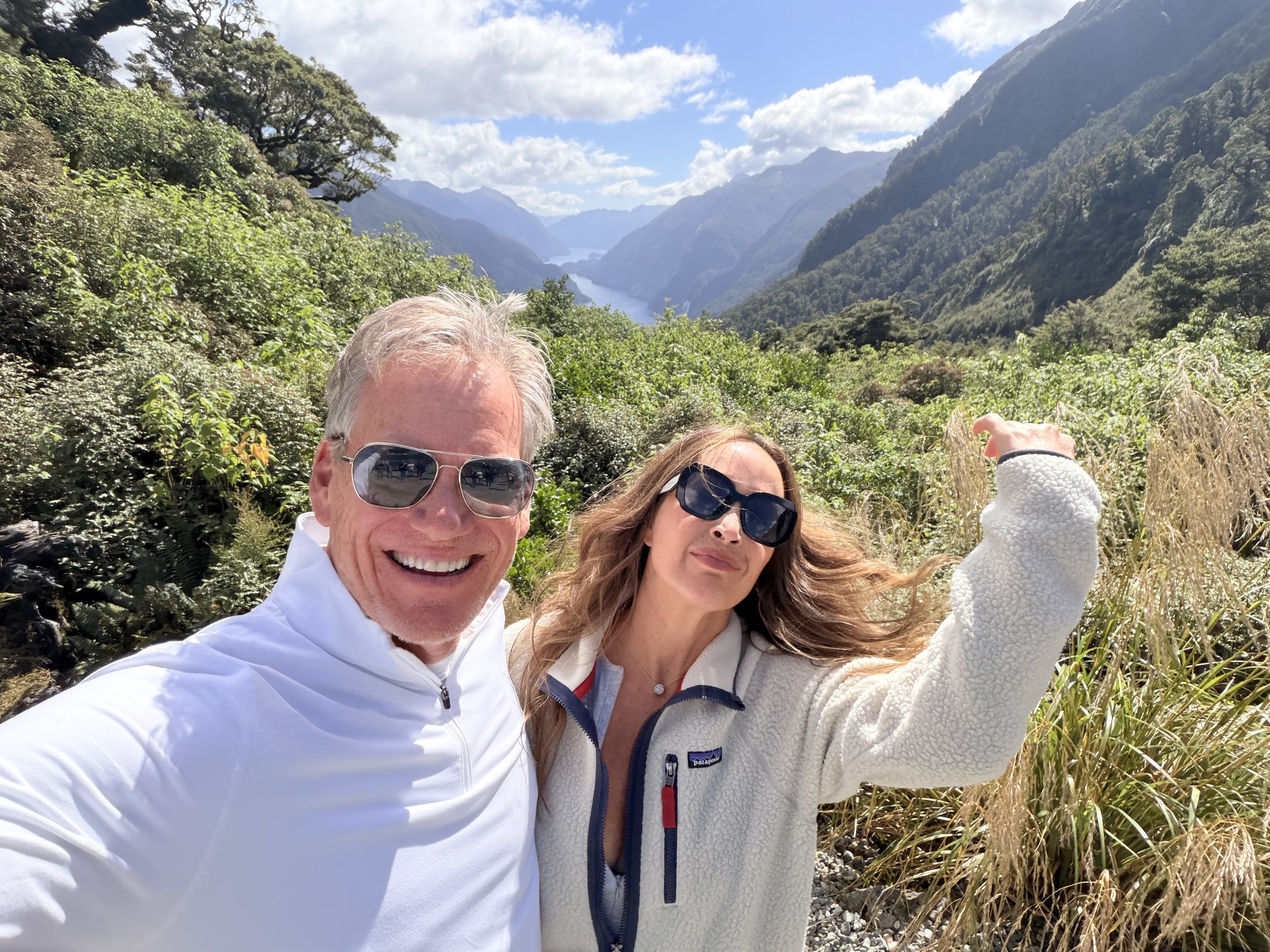
The following day exchanged speed for remoteness. The GPS places us in Pātea Doubtful Sound, where there is no direct road from the rest of the country. The usual route crosses Lake Manapouri, climbs Wilmot Pass, then descends to Deep Cove. From above, the fiord appears in pieces between steep walls and dense forest.
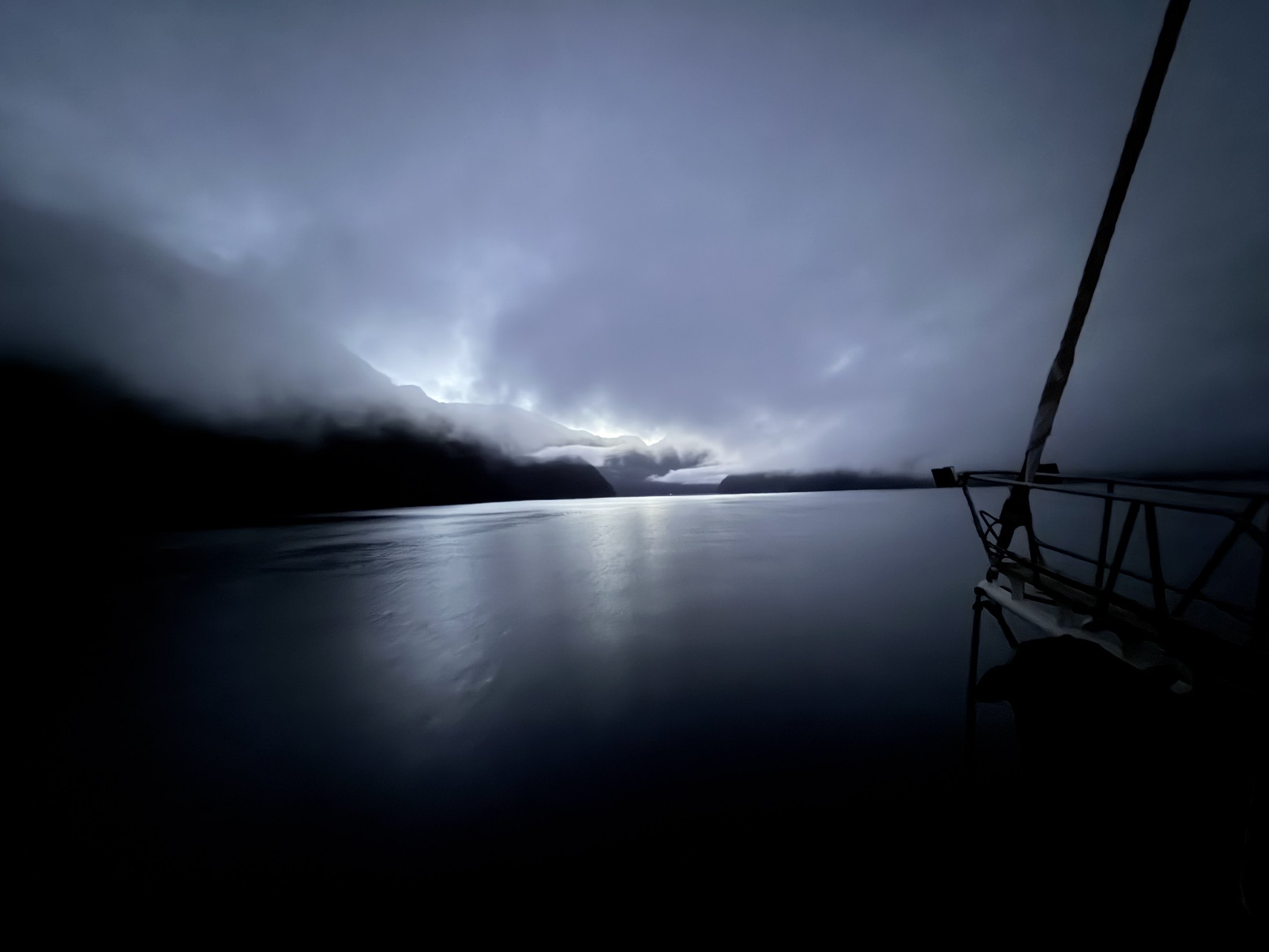
The overnight photograph is nearly monochrome: a rail, black water, and mountains pressed into cloud. It matches the quality that gives Pātea its reputation as the Sound of Silence. The Department of Conservation describes it as one of Fiordland’s largest and most remote fiords. At that hour, the image needs almost nothing else.
March 20–22 / Dunedin, Moeraki, and the road home
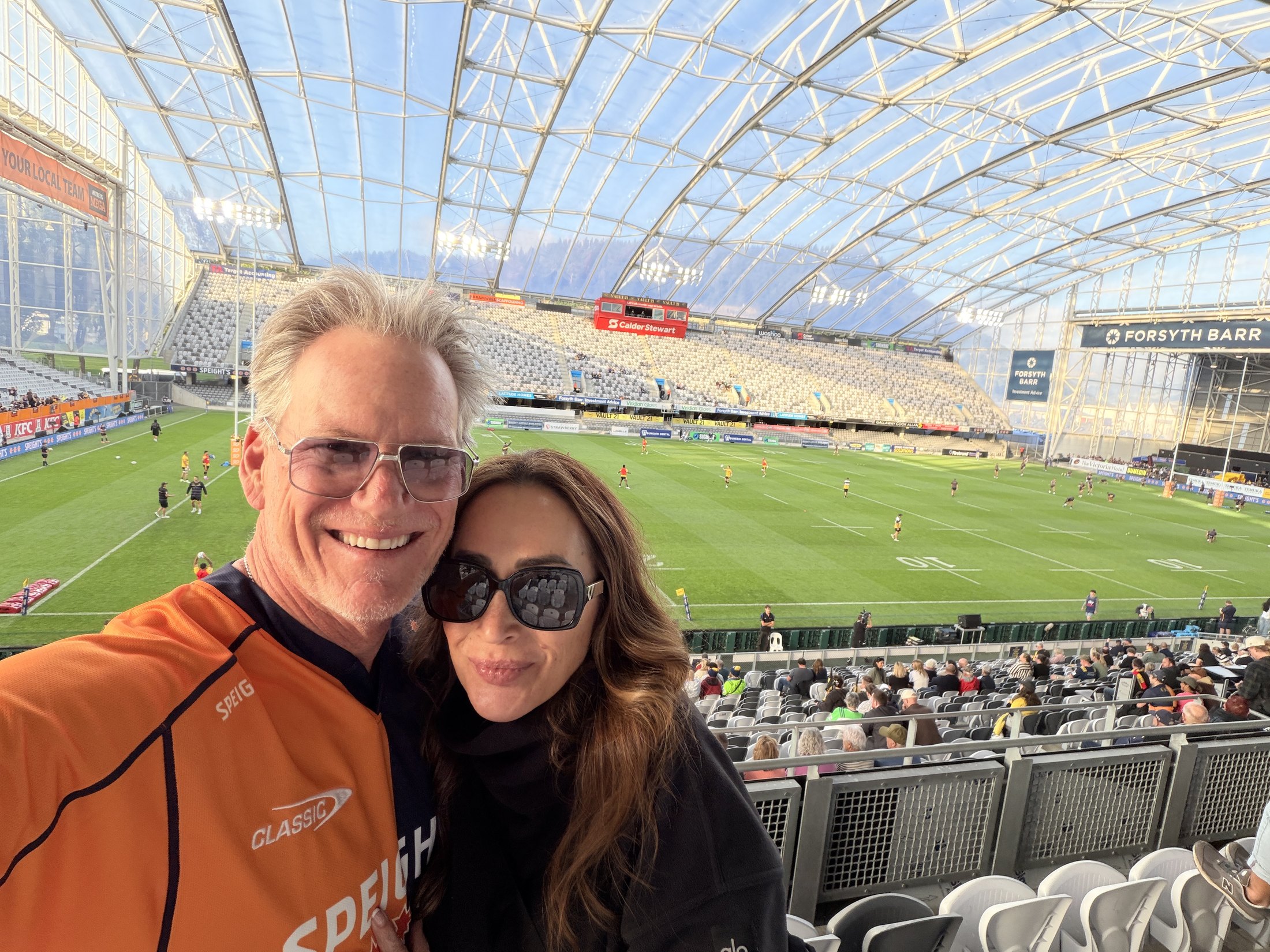
Dunedin brought the trip back into a crowd. We traded mountain layers for orange at Forsyth Barr Stadium, where the Highlanders hosted the Hurricanes on Friday night. After days in open country, the enclosed roof, bright field, and noise felt like another sharp turn.
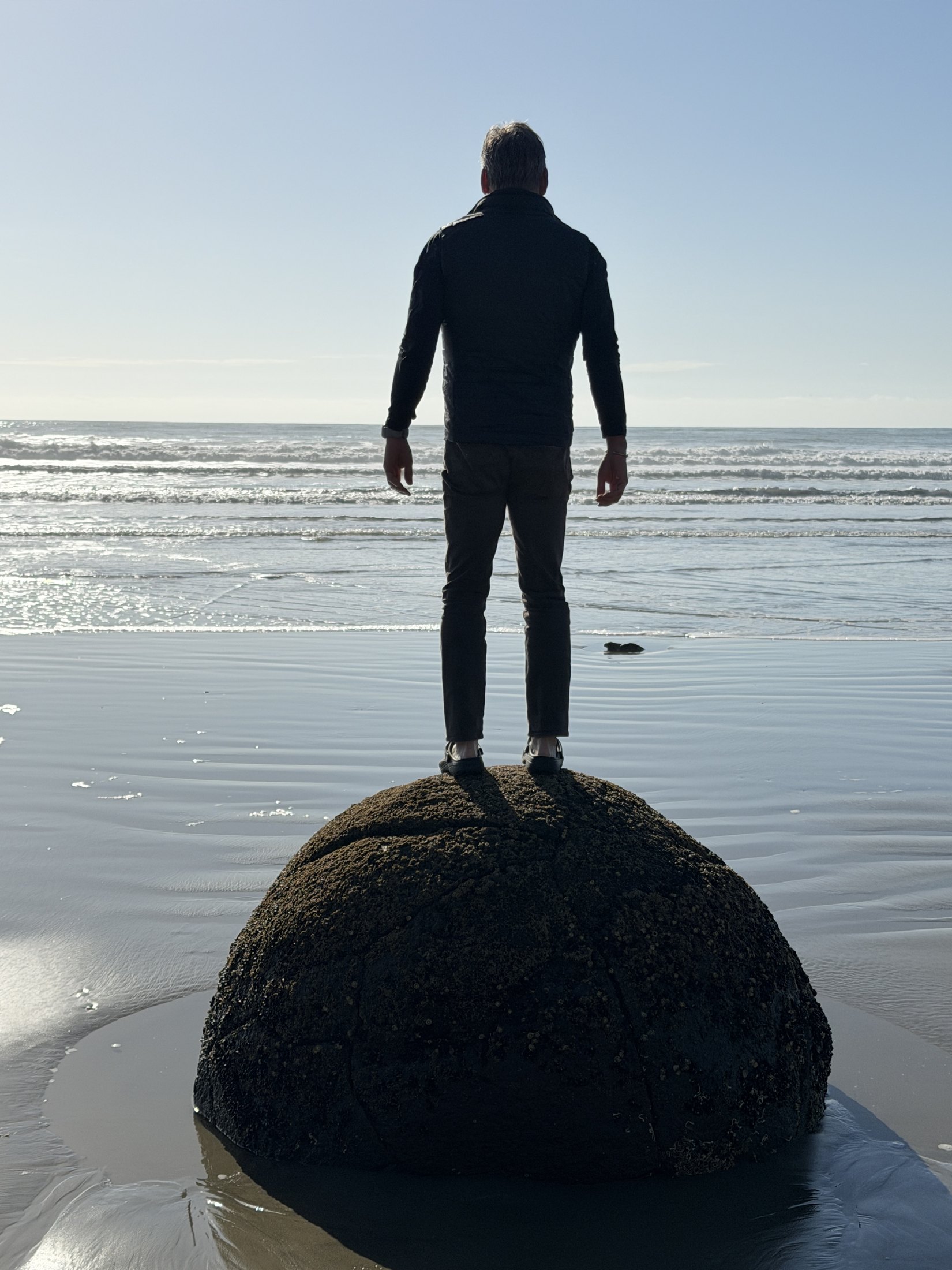
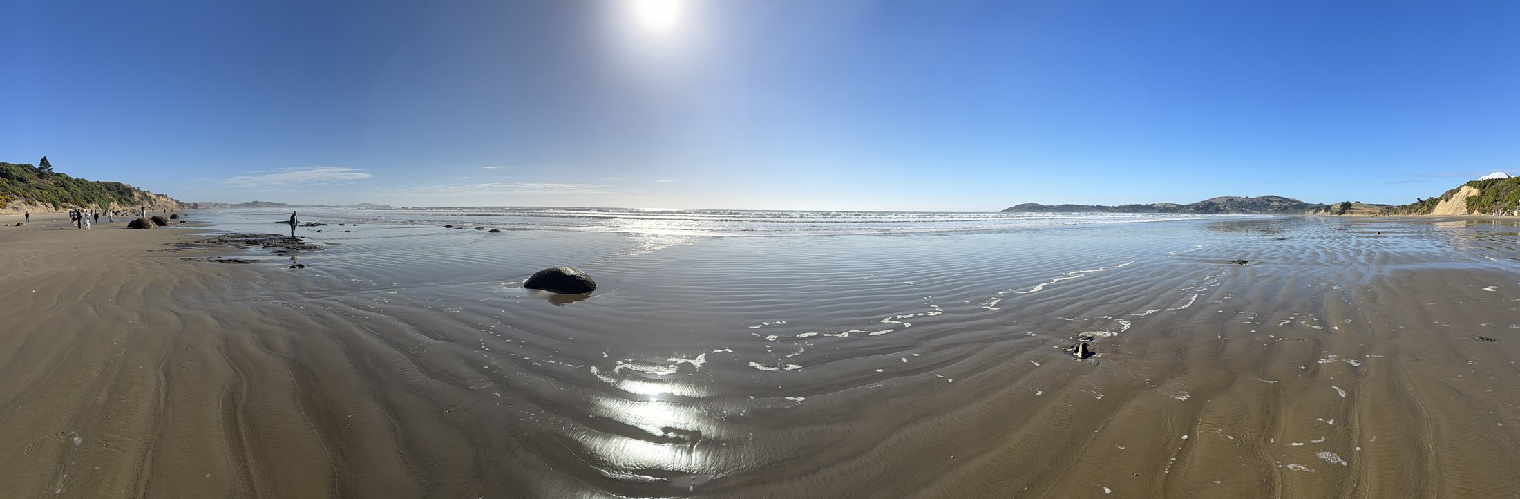
The next morning belonged to the Moeraki Boulders on Koekohe Beach. Up close, each stone feels almost too round for the landscape. From farther away, they become punctuation marks across the wet sand. Craig standing on one gives the boulders a sense of scale; the panorama gives them space.
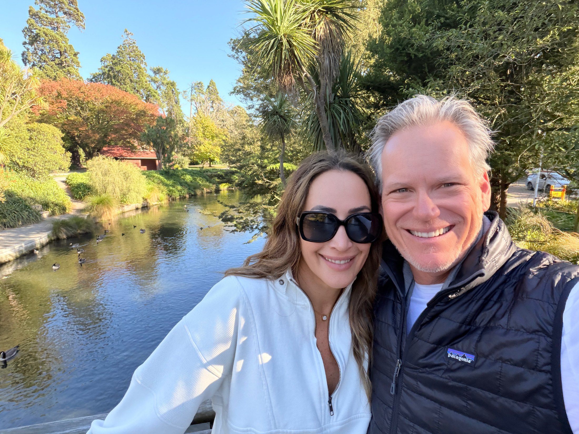
Christchurch provided the last quiet frame: the two of us beside the Ōtākaro Avon River, surrounded by green and early autumn color. After helicopters, jet boats, trains, and an overnight fiord, the ending was simple—a bridge, a river, and one more photograph together.
Looking back, the route makes sense through its contrasts. Waiheke taught us to slow down. The Southern Alps made distance visible. Queenstown supplied the rush; Pātea took the noise away. Moeraki returned us to the sea. The photographs hold all of it, but the best ones keep coming back to the same subject: the two of us, somewhere new, making the landscape part of our story.